SCCWRP testing utility of remote sensing to assess hydromodification risk
SCCWRP has partnered with Orange County Public Works and the manufacturer of a professional-grade unmanned aerial system equipped with sensors to begin conducting high-resolution mapping of waterways susceptible to hydromodification.
The first-of-its-kind pilot project will involve flying PrecisionHawk remote-controlled aircraft over stream channels in south Orange County that stormwater managers are working to protect from erosion and other morphological change.
SCCWRP is interested in adapting professional-grade aerial monitoring systems for environmental applications because, unlike traditional airplanes and helicopters, they can be deployed to gather data quickly, at low altitudes, and at far less expense than could be accomplished by typical on-ground surveys.
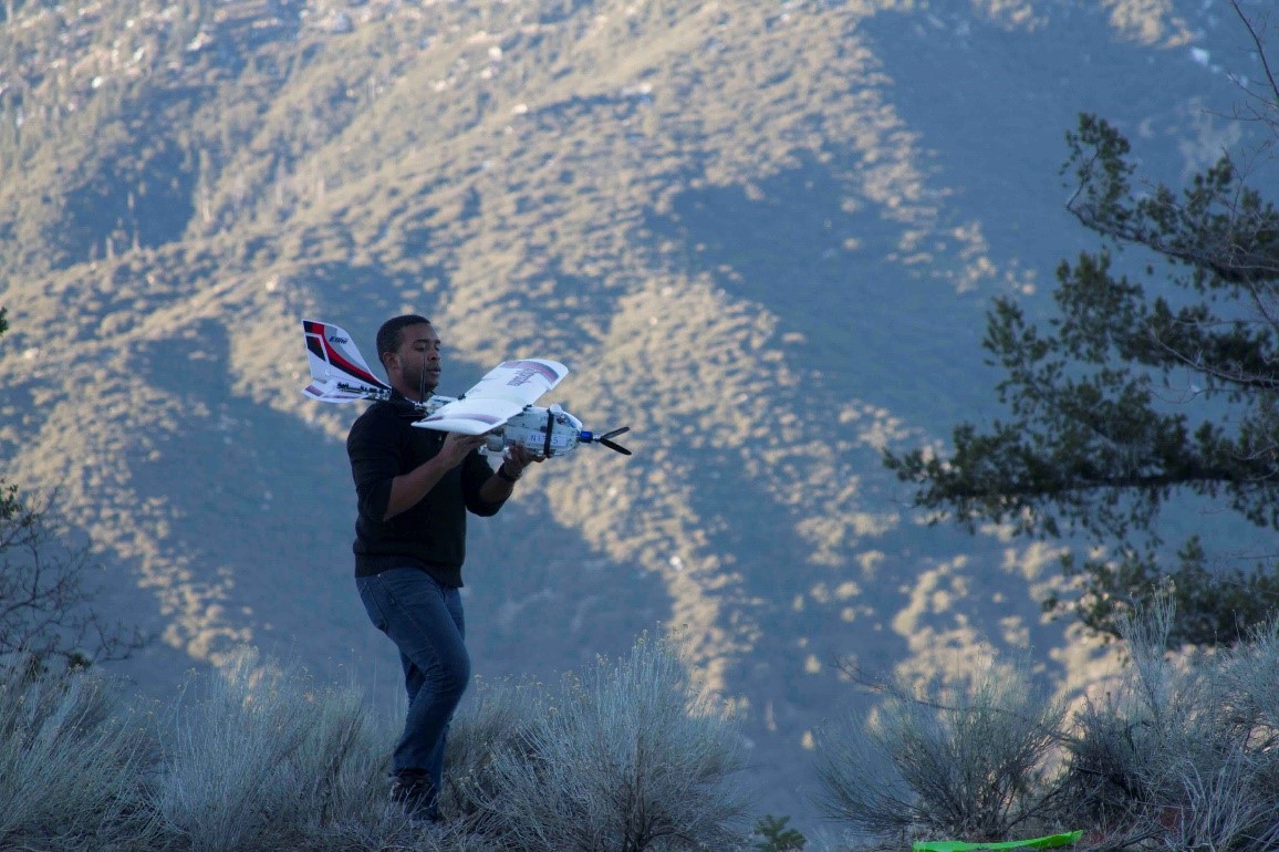
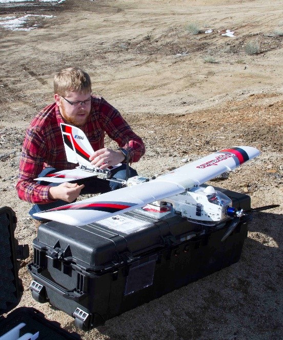
PrecisionHawk, a Raleigh, N.C.-based manufacturer of professional-grade remote sensing systems, is sending a small unmanned aerial systems (sUAS) crew and system engineer to Orange County to pilot the aircraft during the project.
PrecisionHawk uses on-board navigation and industry-standard imaging sensors to generate high-resolution location and elevation information. For the initial data collection, PrecisionHawk and SCCWRP are testing a visible spectrum camera, a multispectral infrared camera, and a LiDAR (Light Detection and Ranging) laser profiling system capable of penetrating gaps in dense foliage to generate imagery of the ground surface below.
A PrecisionHawk team visited SCCWRP in late January to begin an initial round of flight tests, including in the San Bernardino Mountains. The initial flight tests were an opportunity to assess the feasibility of using the technology for mapping areas covered in dense vegetation and snow pack. SCCWRP is working to assess the viability of unmanned aerial systems for member agency applications.
PrecisionHawk also will benefit from the partnership, as the company is interested in learning how its sUAS systems – which are primarily used in the agriculture industry – might be extended to applications in the environmental monitoring arena.
The PrecisionHawk project, part of a larger initiative to assess the value of sUAS systems for a range of environmental monitoring applications, is being conducted in partnership with the San Francisco Estuary Institute, SCCWRP’s sister organization in Northern California.
Future potential applications of sUAS that SCCWRP and SFEI will be exploring include quantifying and mapping harmful algal blooms (HABs), collecting water samples from hard-to-access water bodies, mapping estuaries and wetlands, and identifying debris and pollution plumes.
For more information, contact Dr. Steve Steinberg.
More news related to: Ecohydrology